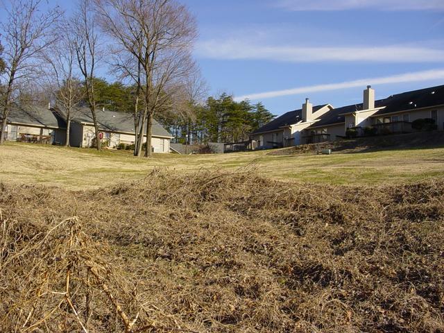
Here’s a photo and story from the GPS convergence location of 36°N 80°W, which is roughly 2.8 miles (4.4 km) NNE of High Point, Guilford, NC, USA — it happens to be pretty close to where I live. The photo is looking east from that spot:
 27-Dec-2002 — After going to 36N 78W , I decided to drive to 36N-80W (I had already been to 36N 79W). Like the other two visitors said, this is a pretty easy one to get to.
I drove into the townhouse complex, Watermark at Oak Hollow, and followed the road to the closest point I could get to driving. I parked about 200 to 250 feet away. I walked between two townhouses, down the lawn to the edge of the lawn. At this point, I saw a large branch on the ground just past the edge of the lawn. As I moved closer to the confluence spot, I discovered that the confluence was right next to the branch. You can see from picture #1 where the branch had broken off and fallen. I walked around a little to get all zeros on the GPS and then took my usual four pictures facing north, east, south, and west. After taking pictures, I walked up the hill back to the car and drove home.

